
Search Stoughton Streets by Address
Start with the mapped parcel, not a guessed household list. The Town directs current-ownership questions to Stoughton People’s GIS, then the assessment row supplies a stable parcel reference and the deed index supplies the recorded transfer trail. The workflow produces evidence in layers. It can show a current ownership lead, a legal conveyance, and, when requested from the proper custodian, a voter-registration clue. It cannot turn a parcel map into a list of everyone who lives nearby.
- Locate the street number in People’s GIS and record the parcel identifier and current-owner link.
- Run the address or owner through Stoughton Property Assessment Data to capture the location, owner, value, sale, and Book/Page clues.
- Search the owner and legal reference at the Norfolk County Registry of Deeds, then read the newest deed before tracing the prior seller.
- For a period-specific registration question, request the appropriate voter information from the Stoughton Town Clerk or Board of Registrars.
- Use a directory or newspaper only after the parcel and date are anchored. It may support a past household lead, not replace the official record.
That order joins an address to an owner first, a deed second, and a voter or directory lead only where the dates fit. For a record about one named person rather than a road segment, the Stoughton resident lookup uses a different verification path.
Stoughton WebPro Street Directory Fields
The Patriot Properties WebPro search is the structured assessor tool for a Stoughton street directory search. No field was marked required in the inspected form. Street name can browse a road and Street num narrows the result to a house number. Owner helps when a deed lead is already known. WebPro is an assessment snapshot, not a deed image and not proof that a listed owner occupies the property. The Town says ownership in WebPro is updated annually.
| WebPro field | Search use | Format or result note |
|---|---|---|
| Parcel | Preserve the assessment key | Example format: 044 201 0 |
| Owner | Find parcels held by a named owner | Type-ahead; owner links can rerun a search |
| Street name / Street num | Browse a road or isolate an address | Use together for a specific property |
| Building, value, sale, physical fields | Narrow or interpret a parcel row | Includes year built, beds, baths, lot and finished size |
| Book / Page and neighborhood | Carry a legal or assessment clue forward | Book/Page is not the deed image itself |
The results can sort by location, owner, built/type, value, LUC, neighborhood, sale date, sale price, and Book Page. A list row may show the location but not an owner mailing address. Treat the property location as the situs address, meaning the land and building’s physical address, unless a record expressly labels another address as mailing.
The Town’s assessment-data page explains the current-ownership caution behind this search frame.
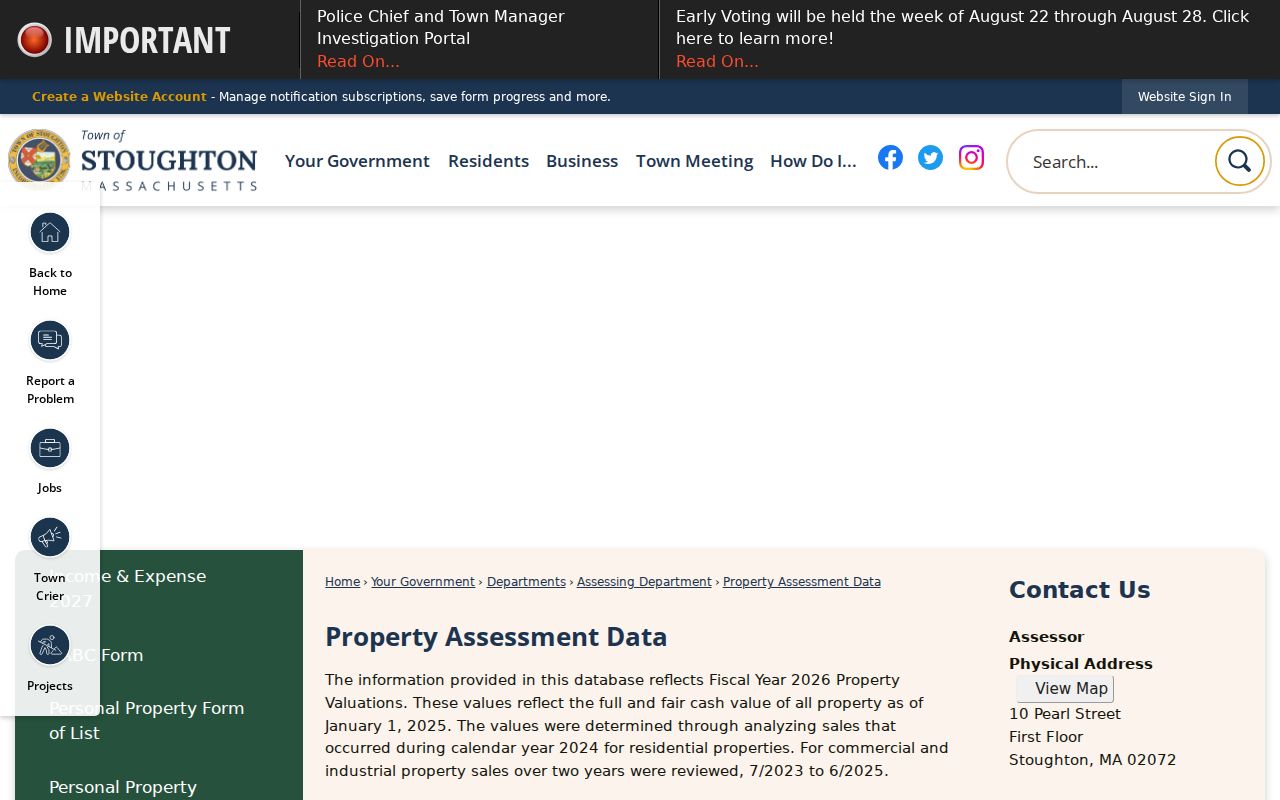
The assessment page is a good entry point for a Stoughton street directory search, but People’s GIS is the better current-owner check when a transfer may have occurred after the annual update.
People’s GIS for Stoughton Street Blocks
People’s GIS is the map handoff for a street-level search. The Town’s GIS Division confirms parcel, road, building, utility, zoning, flood, precinct, school, and census layers, with a daily-current ownership link. Open the address, click the target parcel, and pan along the same road to inspect touching parcels. The exact live labels for select, identify, or adjacent tools were not captured in the research, so use the parcel layer and map clicks rather than assuming a named adjacent-parcel button exists.
A parcel line is a mapping tool, not a survey. When the boundary itself matters, use a Registry plan or deed’s legal description. The Registry plan index can be searched by Book/Page, plan number/year, street name, owner, or surveyor. Town GIS is also scanning and linking as-built plans and water or sewer tie cards, though availability varies by parcel.
Stoughton’s GIS map resources show the official layers and street-index options used for this address-to-parcel handoff.
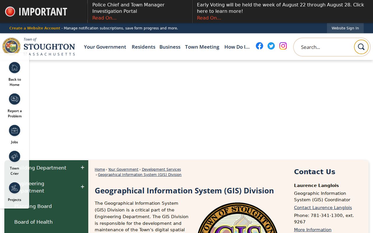
Use these layers to orient a Stoughton street directory search, then verify ownership and legal boundaries with the assessment row and Registry records.
Stoughton Street Records by Address
Address-keyed sources answer different questions. Keeping them separate prevents an owner record from being presented as an occupant record, or a permit from being treated as a household list. The following records form the practical Stoughton street directory chain, including online and request-based channels.
| Address record | Custodian | What it can show | Access channel |
|---|---|---|---|
| Assessment row | Stoughton Assessors / WebPro | Parcel, owner, situs, value, sale, Book/Page | Free online; owner updated annually |
| Current parcel map | Engineering / People’s GIS | Parcel geometry, roads, ownership link, map layers | Free map; daily-current ownership link |
| Recorded deed and plan | Norfolk Registry | Parties, legal description, recording, plan reference | Free research viewing; copy-center or subscriber route |
| Voter list | Town Clerk / Registrars | Public registration fields for a requested period | Local request; protected fields withheld |
| Permit or code record | Town departments / RAO | Address, work or case context, named applicant where released | Online status where available, then public-record request |
| Historic directory or newspaper | Library and State Library | Past address, household, business, or move clue | Reading room, digital archive, or staff help |
Massachusetts voter information is held locally. The Secretary’s voter-information guidance lists public and withheld fields, but no statewide public name-and-address search form was located. Ask the Stoughton custodian for the existing list or record for the period needed. A public-record request under M.G.L. c. 66, § 10 can seek an existing town record, but it does not require creation of a new street roster.
Norfolk Deeds Along a Stoughton Street
The Registry holds two land systems. About 80 percent of Norfolk property is recorded Registry land and about 20 percent is registered Land Court land. An address search combines both systems, but a name search can require separate checks. Property-address indexing is especially useful for applicable documents from 2003 forward. For earlier records, owner name and date are the stronger starting points, followed by legal description, plan, road, owner, or surveyor.
Begin with the current owner from People’s GIS or WebPro. In recorded land, open the newest deed and note grantor, grantee, recording date, Book/Page or document number, consideration, legal description, and prior reference. Search the prior seller as a grantee to continue backward. If that chain fails, search Land Court by owner, find the Certificate of Title, and inspect its encumbrances. Free access supports research and marked prints; clean official scanned-image printing uses the Registry’s subscription or copy route.
Note: Registry staff and the Dedham customer-service desk are the fallback for a Land Court, plan, or older-indexing problem that the online search does not resolve.
Stoughton Street Directory Permit Clues
Permits can add a date and project context to a parcel. The documented address fields include site address, permit holder or contractor, work type, estimate, fee, date, and inspections. Those fields connect work to a location, but the permit holder or contractor can differ from the owner. Code cases may also be address-keyed, with allegation, inspection, letters, and status, yet no full public name index was located for those records.
Stoughton Online Permitting is the online filing and status starting point. For archived permits, code files, or unposted materials, use the Town’s Records Access Officer route and specify the address and date range. The Town must respond under the Massachusetts Public Records Law, but a request should seek an existing record rather than demand a fresh list of people.
The Town’s permitting service provides the address-linked development context shown here.
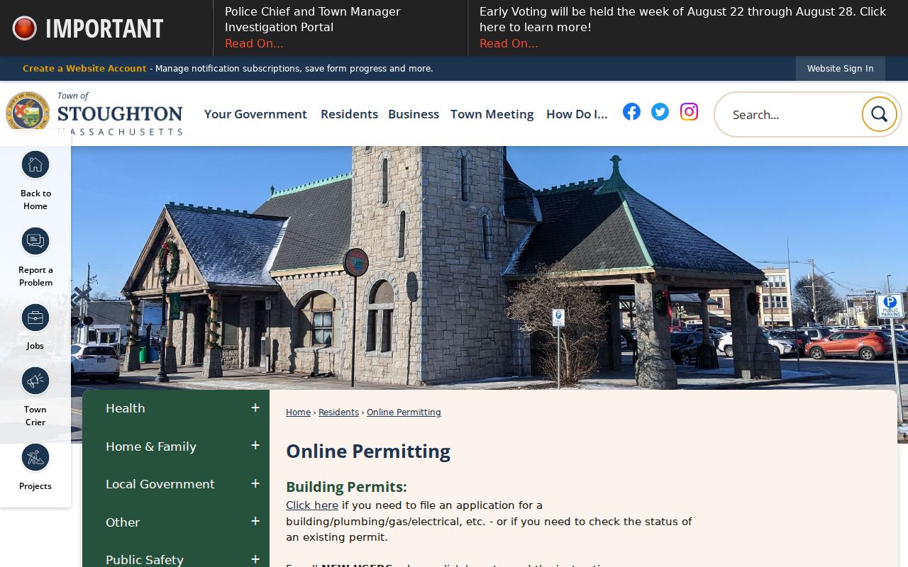
A permit entry can date work at a Stoughton address, but it does not establish who lived there during or after that work.
Historic Stoughton Street Directory Traps
Old streets need map context. Stoughton’s street-name index and the Historical Society’s 1775, 1794, and 1831 map material help translate a road clue into a current place. The local evidence does not identify a townwide renumbering year, so do not invent one when an old number seems wrong. Instead, compare the deed’s legal description, plan reference, road history, and historic map label.
Canton Street is a useful local warning. Historical material says it was accepted as a town road in 1850, while nearby houses and land references are older. The Samuel Waters structure was moved from West Street to present 105 Canton Street in the 1840s. An early address may describe a site or moved building rather than the structure now standing there. The building-numbering rule also requires new buildings to obtain an address designation before a permit and display a permanent visible number.
Stoughton’s building-numbering bylaw explains the current assignment and display rules.
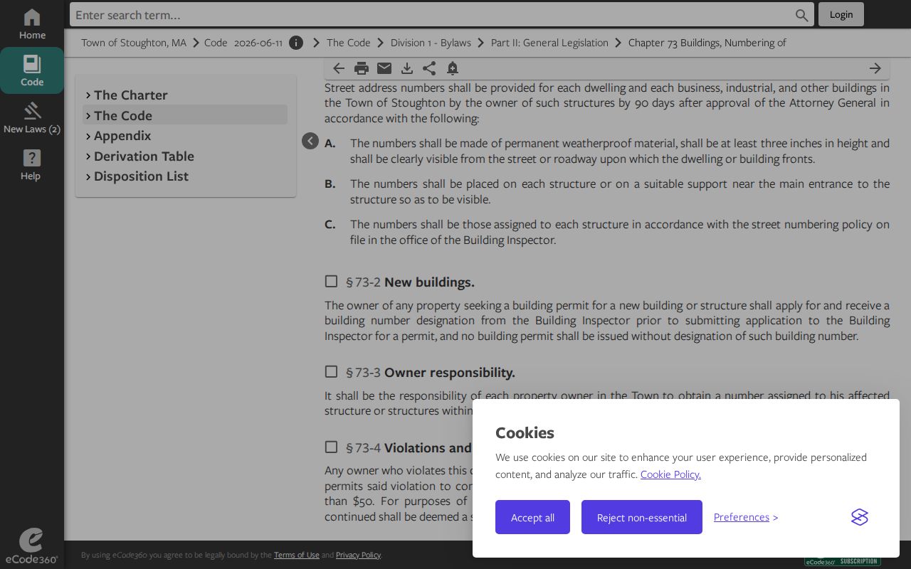
Current numbering helps identify a parcel, while old maps and deeds remain necessary when a Stoughton street directory lead predates the present road pattern.
Stoughton Street Directory Terms
A few record terms make the chain easier to read. They also show why an address search rarely answers every question by itself.
- Parcel
- An assessment and map identifier for a piece of land, useful for linking WebPro and GIS records.
- Situs address
- The physical property location. It can differ from an owner mailing address.
- Plan
- A recorded map or plat that connects a lot or subdivision description to land records. It is not a substitute for a legal survey.
- Criss-cross directory
- A historical address-arranged directory. No verified Stoughton publisher or year run was located, so confirm a specific volume with the Library or State Library.
The Stoughton Library history collection, local newspaper archive, and State Library directory holdings provide the historical fallback when a current parcel trail does not answer a past-household question.
Stoughton Street Directory Access Channels
Online records are only one channel. WebPro, People’s GIS, Norfolk Deeds, permit status, and the town-linked newspaper archive provide useful leads from home. For an unresolved question, visit the Assessors at 10 Pearl Street, Engineering/GIS at Town Hall, the Norfolk Registry customer-service desk in Dedham, the Library Historical Room, or the Historical Society. The Registry and Library staff routes matter most when a map layer, plan, old directory, or Land Court record does not behave like a modern web search.
Written requests have a role as well. Send a focused request to the Town RAO for existing historical maps, permit records, code cases, archived assessment materials, or non-posted GIS tie cards. The Registry has its own public-request and copy routes for materials it holds. Use a date range, address, and record type. That is more likely to locate the correct item than a broad request for every person associated with a street.
Limits of a Stoughton Street Directory
A street directory can identify public property and registration records, but it cannot reveal a complete household. Visitors and other household details are not public parcel fields. Utility customer accounts and motor-vehicle address data are not general street rosters. A directory is historical, a voter record is time-bound, and a permit applicant may be neither owner nor occupant.
Massachusetts also shields confidential voters, minors, protected court records, and Address Confidentiality Program participants. The Massachusetts ACP provides qualifying participants a substitute address and mail forwarding. The absence of an actual residence from a search should be respected, not worked around.
Note: Verify a significant address conclusion with the custodian that created the record, especially when ownership, mailing address, registration, and occupancy point to different dates.