
Looking Up Stoughton Neighbors
The most reliable block question is physical: which parcels touch the target property, and what public record is tied to each parcel? Stoughton People’s GIS provides the map lead, WebPro provides an annual assessment row, and Norfolk deeds provide recorded land history. A local voter request can be useful for a time-specific registration question, but it is not a public statewide name search. Community sources have a different role. They identify public departments and civic activity, not membership rosters for every block.
| Source | What it shows about a block | Access |
|---|---|---|
| People’s GIS | Target and bordering parcels, roads, map layers, current-owner link | Free interactive map; Town says ownership link is daily current |
| Stoughton WebPro | Owner, location, parcel, building and sale context | Free assessment search; ownership updated annually |
| Norfolk Registry | Recorded parties, legal description, plans and title chain | Free research viewing; official-copy route available |
| Town Clerk / Registrars | Public voter fields for a requested period | Local request; confidential fields withheld |
| Town civic records | Public departments, boards, and public meeting participation | Town directory, meeting records, or RAO request |
Property owner and current neighbor are not interchangeable. A parcel can be vacant, municipal, commercial, a condominium, or owned by someone who receives mail elsewhere. The table is a starting record map, not a roster of everyone on a street.
Stoughton GIS Neighbor Parcel Method
Use Stoughton People’s GIS to work outward from the target, one boundary at a time. The Town verifies parcel, roadway, building, utility, zoning, flood, precinct, school, and census layers. The live viewer’s exact adjacent-select labels were not captured in the source review, so the documented method is to locate or pan to the address, select the parcel layer, click the target, and then click each bordering parcel. Use the Town street-name index when the map search does not find a road.
Record a four-sided sketch: target parcel, left, right, front, and rear. That gives a consistent way to revisit each parcel in WebPro and the Registry. It also avoids treating every nearby dot on a map as a residential neighbor. A parcel boundary is not a legal survey, so use deeds and Registry plans when a legal line matters.
Stoughton’s GIS Division resources explain the official map-layer context for this parcel method.
People’s GIS supplies the geographic relationship; the other records establish the type and date of each property connection.
Stoughton Neighbors in Assessment Context
The Stoughton WebPro assessment search helps interpret each parcel after the map step. It provides parcel, owner, location, year built, building type, total value, beds, baths, lot size, finished area, LUC description, neighborhood code, sale date, sale price, and Book/Page fields. The neighborhood code and physical fields describe assessment context. They do not identify a neighborhood association or establish who occupies the property.
WebPro’s search form supports owner, street name, street number, parcel, building, value, sale, and physical-characteristic filters. Results can be sorted. Its public row did not display an owner mailing address, so a Stoughton neighbors search should not assume the property location is where an owner lives. The Town specifically distinguishes annual WebPro ownership from its daily-current People’s GIS ownership link. Check both when timing matters.
Note: A WebPro parcel row is an assessment record, not a deed and not proof of a present household.
Stoughton Neighbor Voter Records
Massachusetts holds voter lists with local election officials. For Stoughton, request an existing record or list through the Town Clerk and Board of Registrars rather than looking for a statewide public lookup form. The Secretary’s voter-information page describes public fields including name, address, party, date of birth, active or inactive status, and voter ID, plus certain history available on request. It also identifies fields that must stay withheld.
Phone number, email, veteran status, permanent-absentee status, confidential-voter records, and records involving minors or pre-registrants are protected. The statewide voter file is not a general public record. Ask for a defined time period and address range only if the Clerk confirms that an existing, releasable record fits the request. Registration at an address is a time-bound clue, not a finding that every resident at that address is public.
There are several access channels when a local record is needed. The Town Clerk can handle counter inspection and voter-list questions during town hours. A written or email request through the Town’s public-record process creates a date-stamped request for an existing municipal record. Historical poll books and registration registers may instead be held by the Clerk, State Library, Archives, or Library. The exact Stoughton historical poll-book year run was not located, so confirm the period before relying on a historical voter source.
Stoughton’s public-record process also gives a response route when the requested record is not available online. The Massachusetts rule requires a response within ten business days, subject to the law’s exemptions and normal request procedures. A clear request states the address, relevant date, record type, and whether inspection or a copy is sought. It should never ask the Clerk to disclose confidential fields or create a new list simply because a block search would be more convenient.
Stoughton Civic Contacts, Not Neighbor Rosters
Stoughton’s public community layer is civic rather than household based. The Town directory names departments, the Community Center, Public Health Association, OASIS Coalition, Veterans’ Services, library, recreation, police, fire, and civic boards. Community Preservation Committee records can also identify public preservation work, members, and terms. These sources can help a reader find the proper public contact or meeting record without claiming private membership information.
| Public community lead | What is verified | What is not established |
|---|---|---|
| Town departments and civic boards | Public contact routes and official participation records | Block-by-block household or member list |
| Community Preservation Committee | Public members, terms, projects, and preservation records | Neighborhood-association roster |
| Stoughton Fish & Game Association | Named in town material at 1651 Washington Street | Current public member directory |
| Neighborhood associations and HOAs | No official umbrella directory or public member list was located | Any inferred HOA name, boundary, or roster |
This gap is useful information. Contact a public department or organization directly when a civic record is needed, but do not fill the missing HOA layer with an invented association or a commercial list.
Stoughton Neighbors: Official Records and Commercial Results
Official sources and commercial neighbor tools serve different purposes. A parcel record can be checked against the custodian and has a stated date or field context. A commercial category may merge public and brokered information, lag behind a move, or conflate people with similar names. Neither type creates a right to private household data.
| Source category | Best use | Limit |
|---|---|---|
| Official parcel, deed, and voter records | Verify a defined property or recorded fact with its custodian | May be dated, request-only, or partially protected |
| Commercial people-data category | Possible lead to verify independently | May be stale, inaccurate, merged, or privacy-sensitive |
For a long named road rather than the immediate block, use the Stoughton street directory workflow to keep the address, map, deed, and historical trail in order.
Map a Stoughton Block of Neighbors
The block process stays focused when each step has one task. It starts with geography, then moves to records, then stops at the public boundary.
- Find the target address in People’s GIS and record its parcel identifier.
- Pan and click the left, right, front, and rear parcels that actually border it.
- Check each parcel in WebPro for owner, location, assessment, and Book/Page context.
- Open the related Registry deed or plan when ownership history or a boundary needs confirmation.
- Request voter or civic records only from the local custodian and only for an existing, releasable record.
Permits can be added as address context. They may list a contractor, work type, inspection, or date, but do not show a complete household. The Town’s Development Services page is the relevant municipal starting point for that property-development layer.
Stoughton Development Services supplied the following capture.
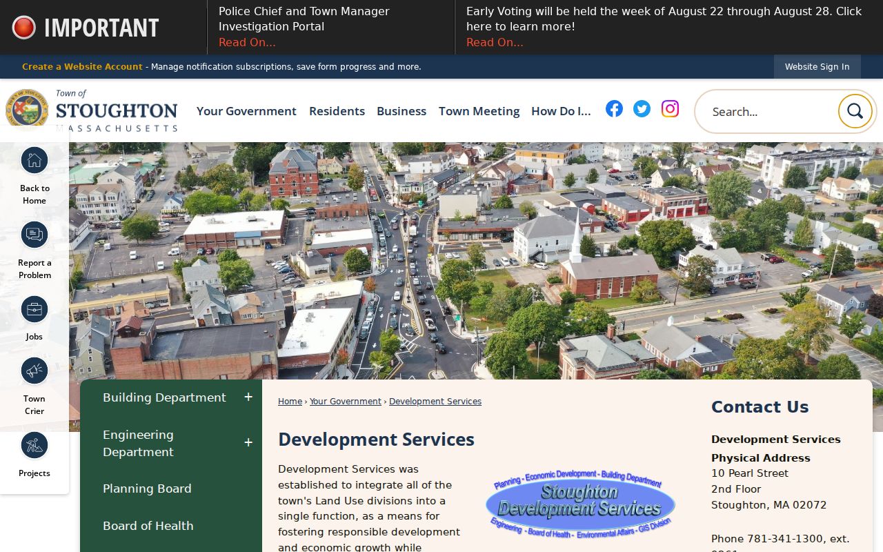
Development records can connect a project to a parcel, but they should be used as property context, not a shortcut to private information about Stoughton neighbors.
Privacy Limits for Stoughton Neighbors
Not every address is public in the same way. The Massachusetts Address Confidentiality Program gives qualifying survivors of domestic violence, sexual assault, or stalking, and certain protected health-care providers, a substitute address and mail forwarding. Actual address information is shielded except in defined legal circumstances. A protected address should never be treated as a puzzle to solve.
Motor-vehicle data is restricted under the Driver’s Privacy Protection Act. Utility accounts, delivery data, private association membership, and many household details are not a public town roll. Massachusetts public-record access begins with M.G.L. c. 66, § 10 and its exemptions, but the request should go to the record creator and cannot compel a new block list.
Note: Confirm important facts with the originating custodian and leave protected or nonpublic household details outside the search.